Biography
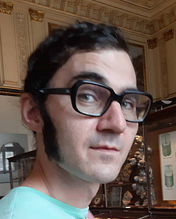
Wilfried Karel received his master’s degree in geodesy and geophysics at TU Wien, Austria, in 2005. Since then, he has been working at TU Wien at what is now the Research Group of Photogrammetry within the Department of Geodesy and Geoinformation, with an interlude at the Vienna Institute for Achaeological Science at the University of Vienna and secondments to the Cartographic and Geological Institute of Catalonia. Besides the development of scientific software like OPALS and terrain and vegetation modelling, his focus is on sensor calibration and orientation, including multi-camera platforms, historical imagery, Laser scans, satellite images, and time-of-flight range cameras. The latter resulted in a publication honoured with the E. H. Thompson Award by the British “Remote Sensing and Photogrammetry Society” (RSPSoc).

